Short summary:
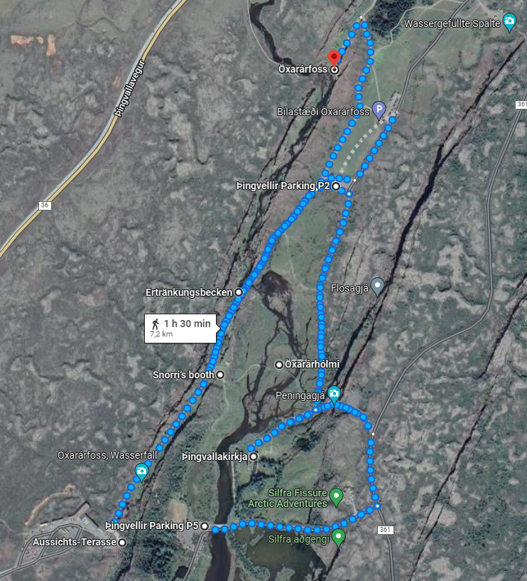
Thingvellir is an area which is usually visited by most tourists on their way to the main attraction Geysir and Godafoss waterfall. It's absolutely worth a visit. We would recommend to do a hike. The route we have chosen is shown below. It's easy for everybody to walk, there are no major obstacles. Of course, you should be careful during winter time or when it is really bad weather (which could be always the case in Iceland).
Thingvellir is an area which is usually visited by most tourists on their way to the main attraction Geysir and Godafoss waterfall. It's absolutely worth a visit. We would recommend to do a hike. The route we have chosen is shown below. It's easy for everybody to walk, there are no major obstacles. Of course, you should be careful during winter time or when it is really bad weather (which could be always the case in Iceland).
You can quickly access each section by just clicking on the following links below:
Location: HERE
Icelandic name: Þingvellir
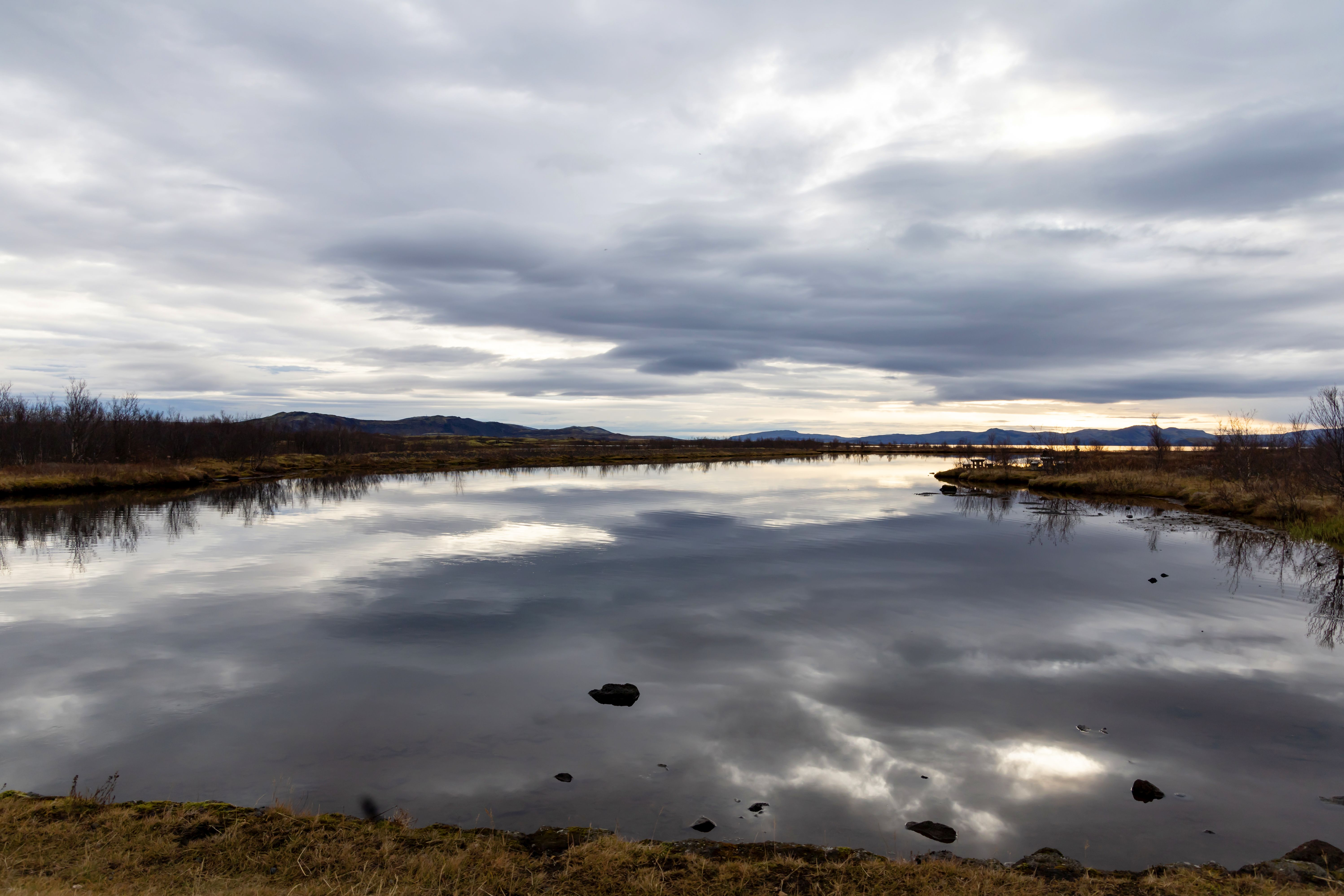
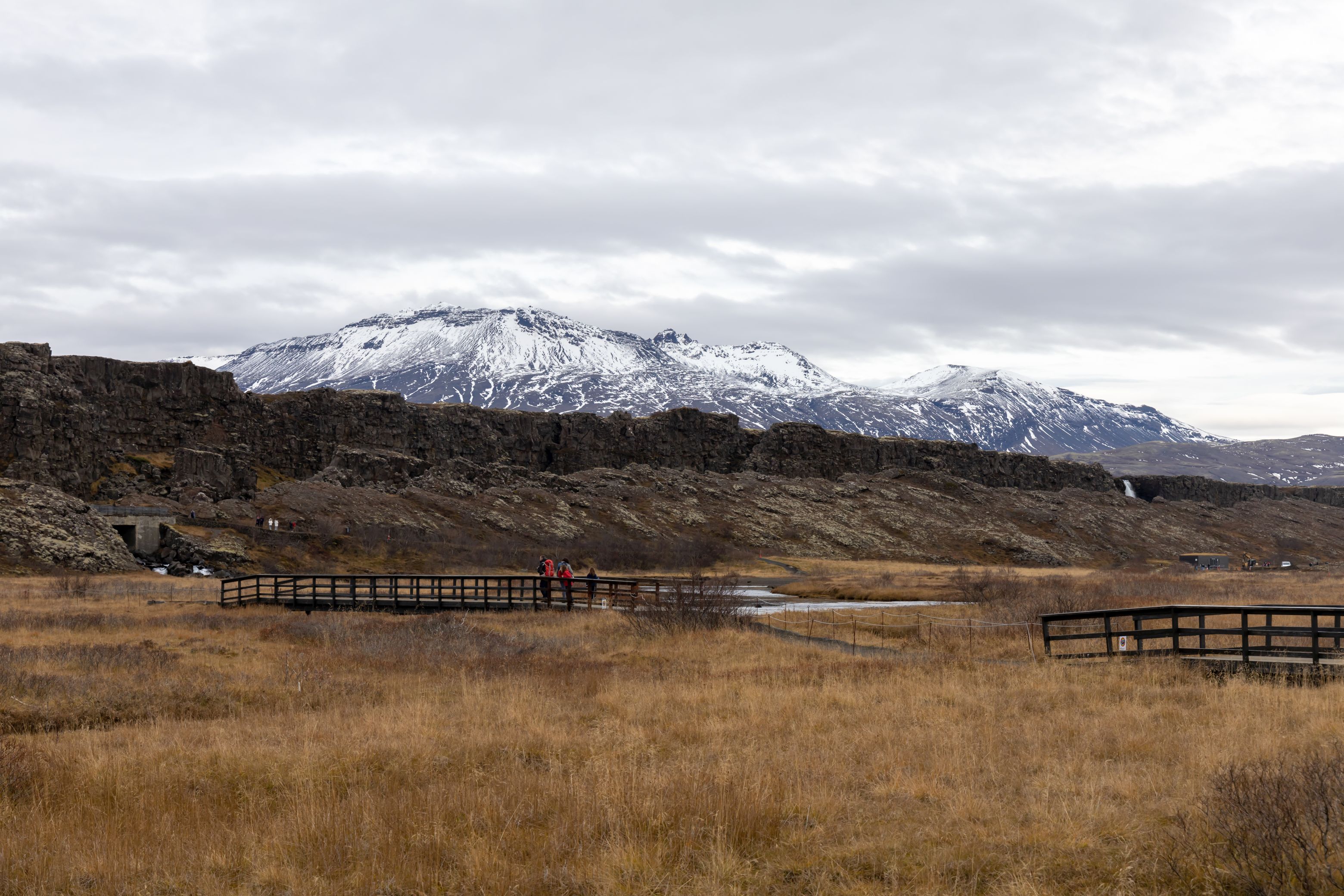
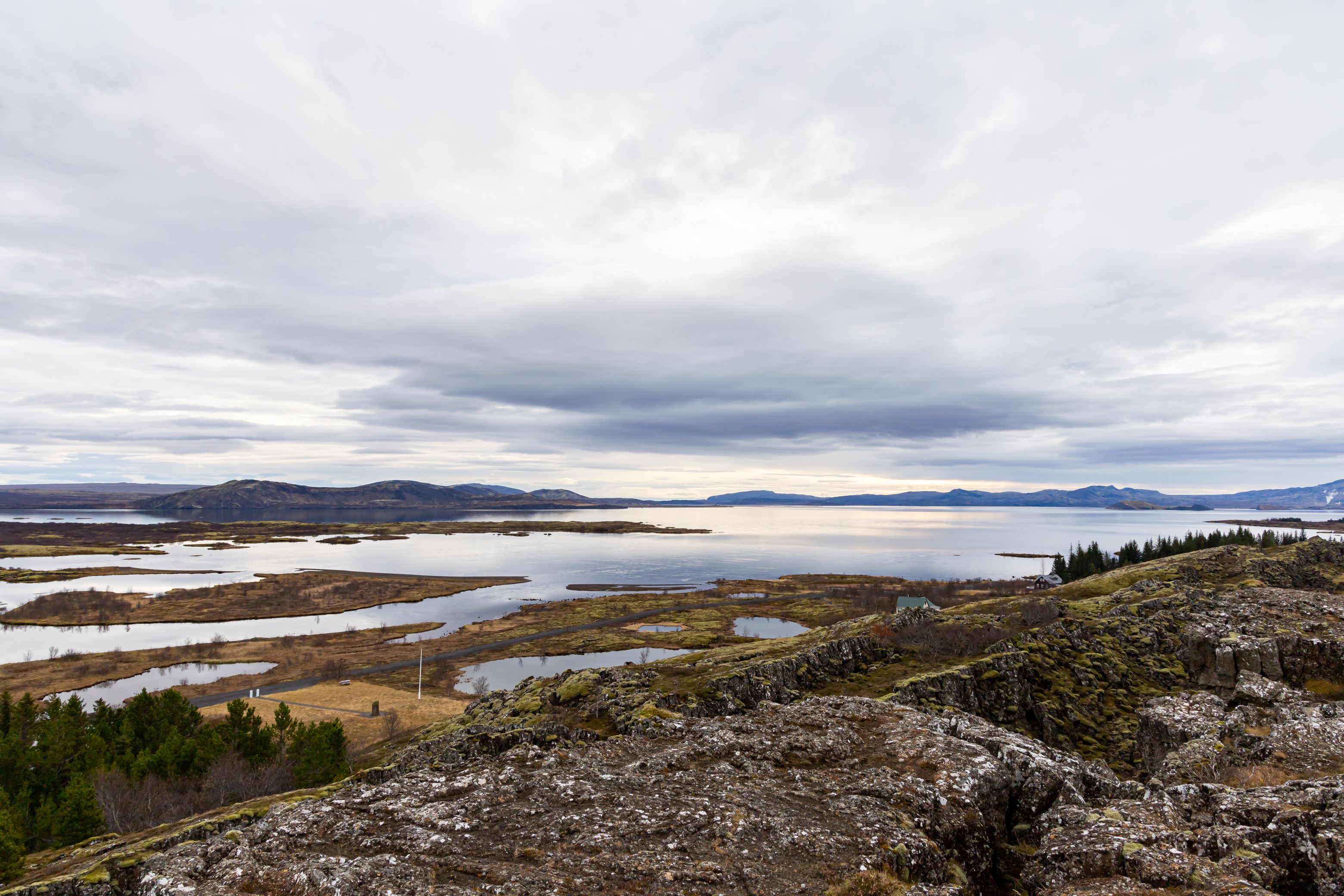
Þingvellir (pronounced "thing-vɛtlɪr") is a historic and natural site located in southwestern Iceland. It is known for being the location of the first Icelandic parliament, the Alþing, which was established there in 930 AD and continued to meet at Þingvellir until 1798. The site is also significant for its unique geology, as it lies on the boundary between the North American and Eurasian tectonic plates. Here, visitors can observe the visible signs of plate tectonics, including fissures and cracks, and walk through the Almannagjá gorge which marks the boundary between the two plates. Þingvellir National Park was established in 1930 to protect the area's natural and cultural heritage and has been designated a UNESCO World Heritage site. The park offers a variety of outdoor activities, including hiking, snorkeling, and scuba diving in the clear waters of Silfra fissure. Þingvellir is also a popular location for viewing the Northern Lights in winter and is a key stop on the Golden Circle tourist route, which includes visits to several other popular attractions in Iceland, including Gullfoss waterfall and Geysir hot springs. The historic site of Thingvellir (Þingvellir) is known for being the location of the first Icelandic parliament, the Alþing, which was established there in 930 AD and continued to meet at Þingvellir until 1798. Also, again we are on the boarder of the American and Eurasian tectornic plates, which shows in the unique landscape.
We parked at the P2 parking lot. From there, it is an about 15 min. hike up to the view point, where you have a great view of the surrounding landscape. The place is very touristy. We took the longer way back, crossing the river and visiting the small church of Þingvallakirkja, which was very nice and a bit less crowded. If you don’t like walking that much, you can also park your car right at the visitor center near the view point. As we also wanted to visit Öxarárfoss waterall as well, a parking lot further down was the right choice for us.


Location: HERE
Icelandic name: Öxarárfoss
Öxarárfoss was the first waterfall we visitied on this trip and it is really impressive. Lots of water loudly rushing off of the black basalt cliffs. You can get quite close to the waterfall. There is a wooden platform which is a great place to take pictures from. You can get even closer if you leave the platform and climb on the rocks (we didn’t). There were no signs that prohibited visitors from leaving the platform so it is probably ok to do that – but be careful, it might get slippery! Also, of course please respect the nature and leave everything where it is.

